
Jefferson Parish ZIP Coverage Guide
The Mississippi River divides Jefferson Parish into East Bank and West Bank service patterns, while Grand Isle sits far south on the barrier island. ZIP codes trace mail delivery, not parish or city law. The table reconciles JPSO guidance, parish reports, and official address examples.
| ZIP Code | Areas Covered | Post Office | Notes |
|---|---|---|---|
| 70001-70006 | Metairie | Metairie | East Bank range; verify exact delivery |
| 70036 / 70067 | Barataria, Lafitte, Jean Lafitte | Barataria / Lafitte | Official sources conflict for Barataria |
| 70053 / 70056 | Gretna and Terrytown | Gretna | City and community labels differ |
| 70058 | Harvey | Harvey | West Bank delivery |
| 70062 / 70065 | Kenner | Kenner | Incorporated city |
| 70072 | Marrero and Crown Point | Marrero | West Bank delivery |
| 70094 | Westwego, Avondale, Bridge City, Waggaman | Westwego | Spans incorporated and unincorporated places |
| 70121 / 70123 | Jefferson, Ochsner, Elmwood, Harahan, River Ridge | Jefferson / New Orleans | New Orleans label can mean Jefferson Parish |
| 70358 | Grand Isle | Grand Isle | Barrier-island town |
Codes 70054, 70055, and 70063 appear in official survey responses but were not mapped to normal populated areas in the captured guide. Code 70181 appears as a utility payment reference. Verify a full address through USPS, then use GIS for legal jurisdiction.
Jefferson Parish ZIP Bank Families
Metairie, Jefferson, Kenner, Harahan, Elmwood, and River Ridge form the main East Bank postal pattern. Gretna, Terrytown, Harvey, Marrero, Westwego, Avondale, Bridge City, Waggaman, and coastal communities form the West Bank pattern. The river split matters because public counters, election offices, parish courts, and city keepers can differ even when addresses look close.
A ZIP code directory must retain the bank, municipality, and unincorporated status as separate facts. Kenner and Gretna keep city permits and local files. Unincorporated Metairie or Marrero records often route to parish government or JPSO. Grand Isle has its own town route. Postal proximity does not merge those custodians.
Search Jefferson Parish by ZIP
The Louisiana Voter Portal is the clearest official ZIP-capable resident tool. Search by voter uses name, ZIP, and birth month/year. Search by address uses ZIP, street address, apartment or lot, and city. The Assessor has no ZIP field in the captured search. It accepts owner, property address, parcel, or subdivision with block and lot.
- Confirm the full mailing address and ZIP through USPS. Preserve apartment, unit, or lot text.
- Enter ZIP, street, unit, and city in the official voter address search. Treat output as election information, not occupancy proof.
- Search the assessor by address or parcel. Compare physical and mailing addresses because they may differ.
- Open JeffMap to check the parcel and municipality, then route city records to their municipal keeper.
Once a search narrows to a road, the Jefferson Parish directory by street supplies the complete parcel workflow.
| Voter field | Purpose | Use note |
|---|---|---|
| ZIP | Postal area | Use current five digits |
| Address | Street location | Match official spelling |
| Apt/Lot | Unit detail | Optional but useful |
| City | Postal locality | May differ from municipality |
The live controls appear on the official voter address portal.
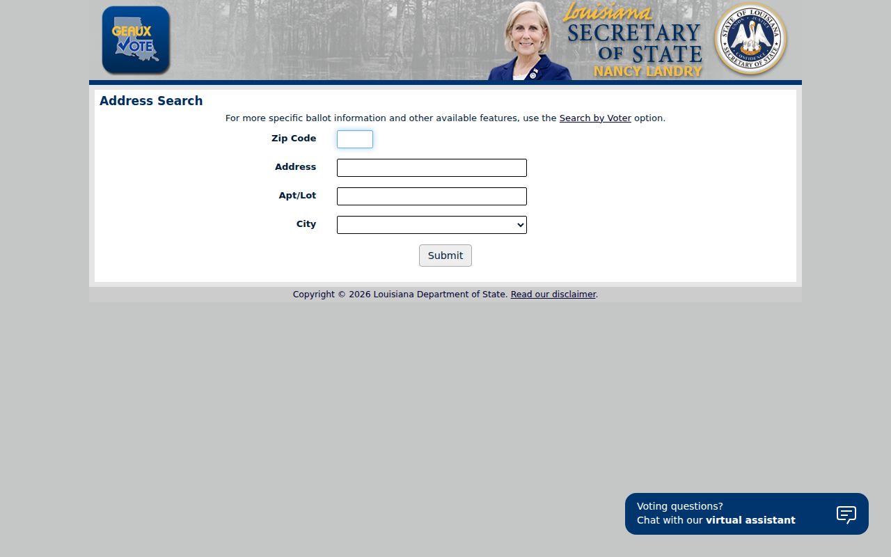
The form shows why ZIP, city, street, and unit must remain separate entries.
Barataria ZIP Records Disagree
Barataria tests the value of source dates. Parish population and infrastructure records use 70036, while the current JPSO cities guide assigns Barataria to 70067. Do not guess away the conflict. Test both for an older record, preserve the source, and let a current USPS result decide today's delivery label.
A deed, voter file, assessor card, and old directory may preserve labels from different dates. The mismatch may signal a route change instead of the wrong person. Legal description and parcel number are often more stable than postal text.
Source-date tip. Keep both Barataria codes in the research log until the exact address and record date settle the conflict.
New Orleans ZIPs in Jefferson
A New Orleans postal city does not always mean Orleans Parish. JPSO identifies the Ochsner Hospital area as unincorporated Jefferson with 70121. Elmwood Industrial Park is also unincorporated Jefferson but carries a New Orleans 70123 label. That ZIP serves Harahan, Elmwood, and River Ridge contexts. Delivery geography crosses government geography.
For property, permit, or records work, verify the parcel in JeffMap and determine whether it lies in a city. Do not send a request to Orleans merely because the mail line says New Orleans.
Marrero ZIP Directory Check
Marrero and Crown Point use 70072 in official parish and postal material. USPS confirms the post-office context, while the parish map decides local jurisdiction. A post-office page does not show title, owners, or every delivery edge.
The official USPS Marrero location supplies the postal part of the check.
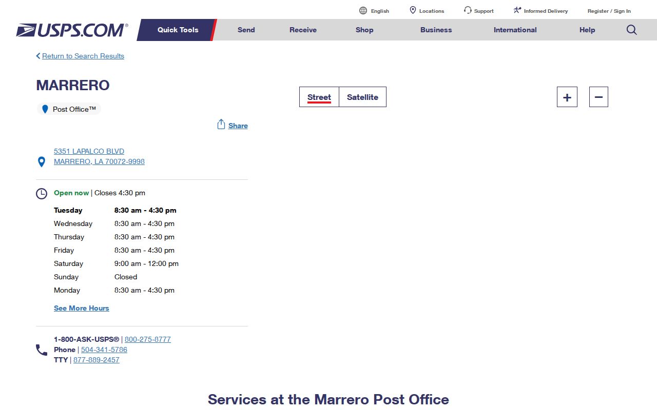
Pair that result with the assessor and GIS before linking a person or parcel to the ZIP.
Grand Isle ZIP Record Route
Grand Isle's 70358 serves the incorporated barrier-island town at the parish's southern end. Town permits, local files, and municipal questions may stay with Grand Isle, while court, assessor, deed, election, and state records follow other keepers. This is more than another row in the Jefferson Parish ZIP code directory.
Coastal research may also need cemetery, church, newspaper, and town sources. A missing central portal hit can be a record-silo problem. Call the office, submit a specific request, or consult Jefferson Parish Library and archival collections before concluding no record exists.
Verify Jefferson Supplemental ZIP Codes
Official responses contain 70054, 70055, and 70063, but captured guides do not map them to ordinary populated delivery areas. They are weak starting points for a broad resident search. Use a complete address in USPS and retain the result as dated evidence. The 70181-0007 utility reference is a payment code, not proof of resident geography.
No official parish-wide table of every PO-box, unique, and ZIP+4 code was located. Postal counters and USPS are the first fallback. The assessor, Clerk, Registrar, city offices, parish request system, library street guides, and Archives provide the non-postal layers.
Jefferson ZIPs Versus City Limits
ZIP 70094 spans Westwego plus Avondale, Bridge City, Fairfield, Nine Mile Point, and Waggaman. ZIP 70056 joins Gretna and Terrytown labels. On the East Bank, 70123 crosses Harahan and unincorporated communities. These differences determine where permits, code files, court material, and municipal records are kept. Use the ZIP to find the address, then the parcel and map to find the custodian.
- ZIP vs ZIP+4
- Five digits name a delivery area; four more narrow a delivery segment.
- PO-box ZIP
- A code mainly assigned to boxes at a postal facility, not a mapped neighborhood.
- Unique ZIP
- A code assigned to one high-volume institution rather than a general area.
- Carrier route
- A postal delivery path that can cross a government boundary.
Request an existing addressing, plat, or street-renaming record from the parish, municipality, Clerk, or public-works keeper when maps do not settle the label. JPL, NOLA City Archives, State Library maps, old plats, directories, and Sanborn sheets help with older addresses. No parish-wide E911 renumbering table was found.
Keep every access route in the search log. Online tools include USPS, the Assessor, JeffMap, the planning map, and both voter portal modes. In person, postal counters, municipal clerks, the Registrar, and parish offices can resolve a disputed address. Phone help and a narrow Louisiana Public Records Law request are useful when an existing map or renaming file is not online. For an old ZIP code, library microfilm and dated directories can show when the postal wording changed.